

Basic Data
Forest area includes forest land cover (forest land covered by trees), and forest land use (both forest cover and the forest land temporarily without trees).
Forest cover is a fundamental measure for the monitoring of state and trends of forest ecosystems, forest resources, their management and uses.
The Food and Agriculture Organisation (FAO) definition for forest land is “Land spanning more than 0.5 hectares with trees higher than 5 metres and a canopy cover of more than 10 percent. It does not include land that is predominantly under agricultural or urban land use.“
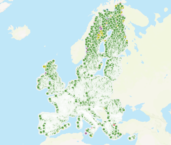
List of maps to be seen
Please, click on the map picture that you'd like to see more information.
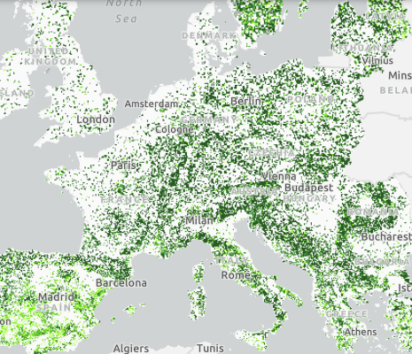
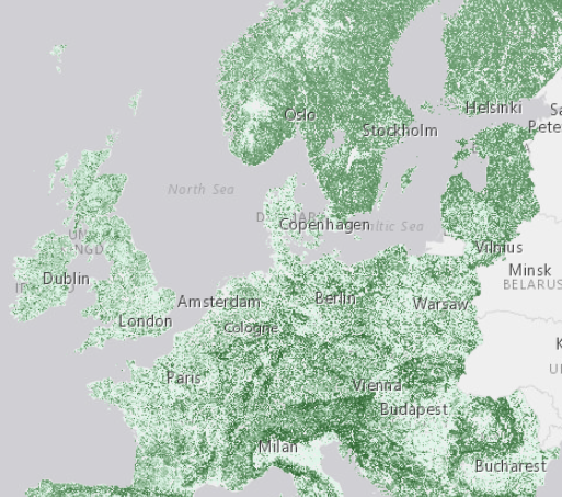
Tree cover density
High resolution layer showing level of tree cover density in a range from 0-100%.
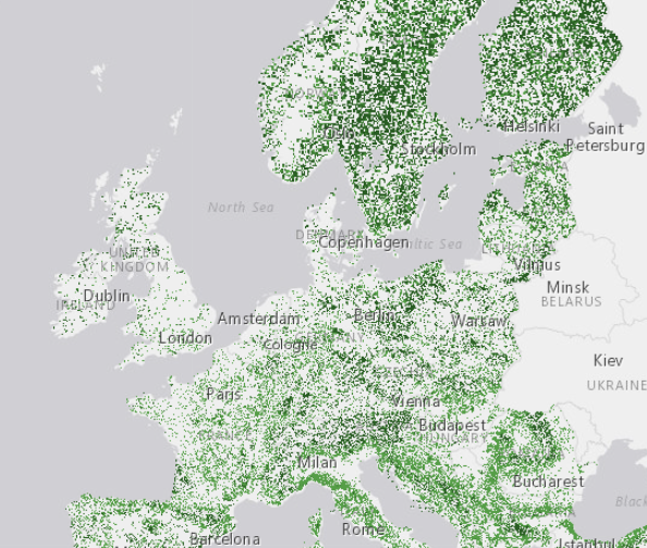
Forest types
High resolution layer showing the forest and non-forest area of Europe. The forest map covers the dominant leaf types.
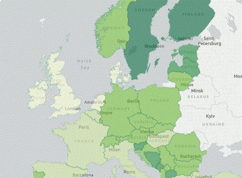
Forest land cover
The map shows forest cover of the land surface at different administrative levels.
LUCAS forest types
Forest types reported in LUCAS (Land Use/Cover Area frame Survey) in-situ area frame survey 2018.
Forest above ground biomass
This dataset comprises estimates of forest above-ground biomass for year 2018.
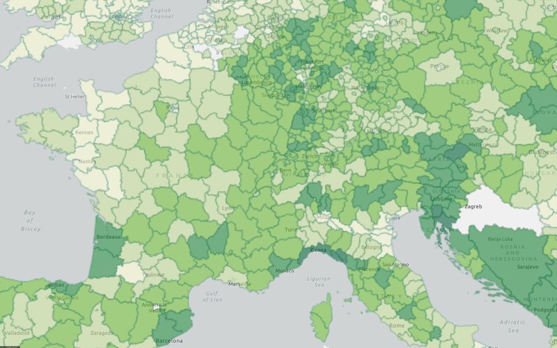
Forest land cover - nuts 3
The map shows forest cover percent of the land surface at nuts 3 level.

FISE - Forest Information System for Europe is a forest knowledge base in support of the EU Forest Strategy.


