All official European Union website addresses are in the europa.eu domain.
See all EU institutions and bodies
An official website of the European Union | How do you know?
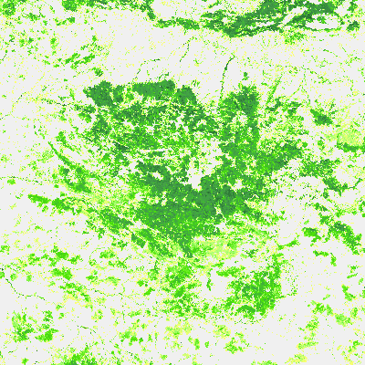
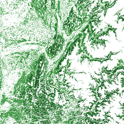
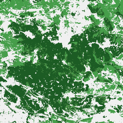
Environmental information systems
Copernicus is the Earth observation component of the European Union’s Space programme, looking at our planet and its environment to benefit all European citizens. Get your spatial forest information drawn from satellite Earth Observation and in-situ (on the ground) data.